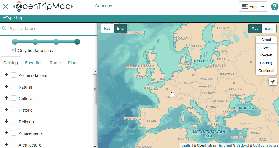
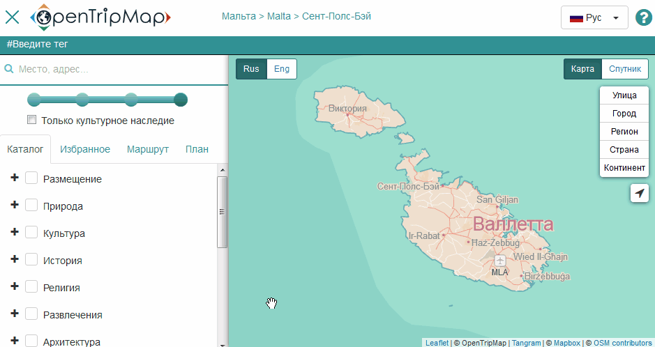
Find all the sightseeing attractions on one map with open tourist world atlas OpenTripMap. Choose attractions, book hotels, plan itineraries and share them with your friends. The project accumulates data from open global sources and encompasses over 10 million tourist attractions and facilities around the world.
With us you can:
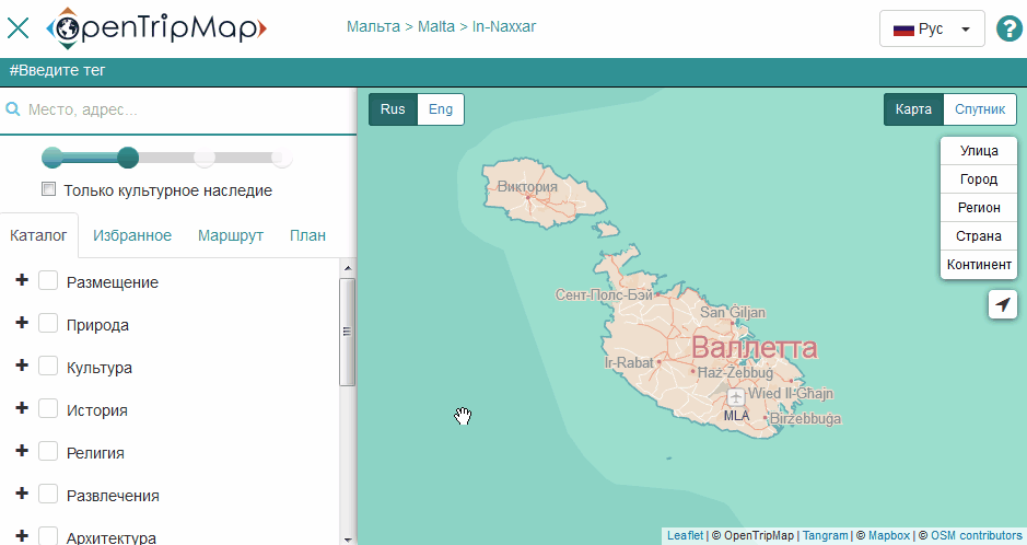
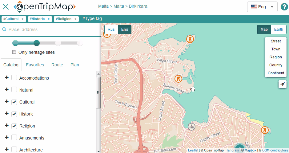
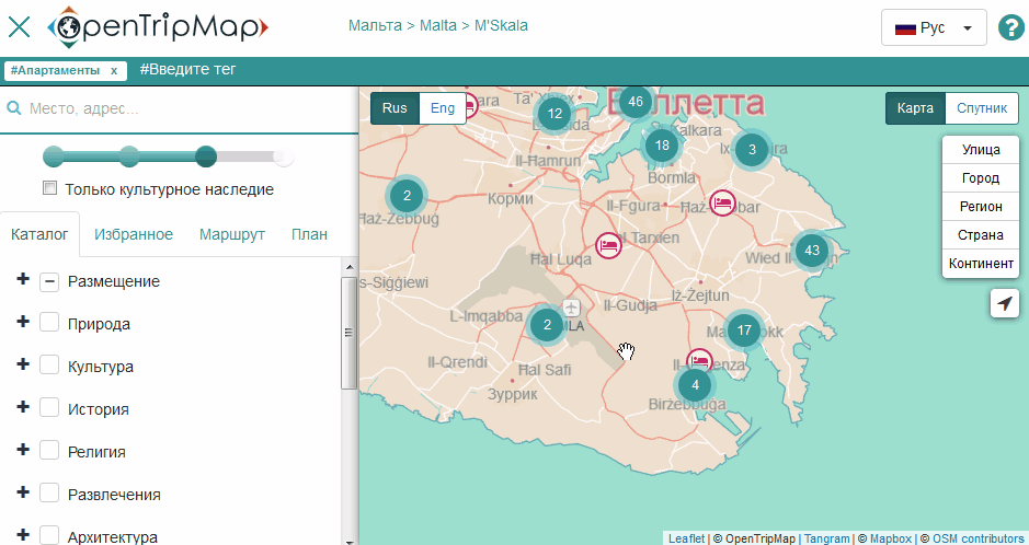
choose places of interest (more than 150 available types of tourist attractions for every taste);
find out more about tourist attractions with one click;
look into the daily happenings from different cities and explore the resorts via webcams;
prepare the most convenient itineraries;
search and book hotels.
The service uses open data from OpenStreetMap and Wikimedia projects. These projects are supported by a community of enthusiasts from all over the world and contain tens of millions of objects of interest to travelers.
We also use open data from Ministry of Culture and Ministry of Natural Resources and Environment of the Russian Federation. We use the Flickr API but is not endorsed or certified by Flickr.
Everyone can contribute to the Atlas development by adding new information about tourist sites. Changes made by OpenStreetMap и Wikimedia users will be available on OpenTripMap project.
You can use our REST API for developers ( API specification).
We are happy to get your feedback. Write to us at support@opentripmap.com